Exploration geophysics
Seismic equipment
Topographic equipment is used to:
- Setting up geophysical grid and required topographic support during seismic acquisition;
- Determination of horizontal location and elevation of shot and receiver points.
- Instrumentation quality control of geodetic data.
Topographic equipment:
Electronic total stations:
![]() Sokkia SET 630R,
Sokkia SET 630R,  TOPCON GPT 3005,
  Trimble GDM 3605 DR;
Satellite navigation receivers:
 Trimble GPS 5700, R7 GNSS,
  R10 GNSS;
Radio-modems are used to receive real-time RTK survey data:
 Pacific Crest Corporation HPB 450,
  ADL VantagePro.
A new unique system Trimble® R10 GNSS is developed to further improve performance of geodetic surveyors, especially in demanding conditions. Lightweight, compact and balanced design allows to perform more work with less efforts.
This powerful system combines a number of the latest technologies, such as Trimble 360, Trimble HD-GNSS, Trimble SurePoint™ and Trimble xFill™ in one compact case and uses all GNSS satellite signals thus enabling geodetic surveyors to perform measurements faster and easier in the most challenging environments.
Based on all prior experience in creating Trimble geodetic tools, the new system empowers land surveyors to perform measurements in environments that were previously inaccessible to them.
In combination with Trimble Access software on controller
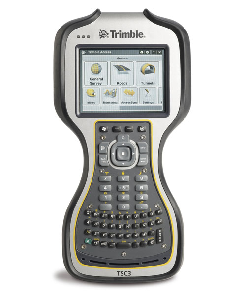 TSC3, Trimble R10
this is the most powerful solution in the industry to this date, which starts a new era in GNSS survey.
CREDO_DAT software is used to process total station data;
CREDO_DAT software is intended for office processing of land and satellite geodetic measurements in control networks and surveying in the selected coordinate system, considering geoid model, a set of reduction corrections; processing of measurements of different classes and various geodetic imaging methods.
Trimble Business Center is used to process satellite images;
Trimble Business Center office software is designed for geodetic companies and offers wide opportunities for joint processing of geodetic data, which can be imported directly from satellite receivers and controllers, as well as from total stations and digital levels. The most powerful visualization and modeling tools ensure high versatility and unsurpassed computing power of the Trimble Business Center package.
Despite multiple innovative and unique features, the software is exceptionally easy to use. Trimble Business Center is the result of many years of development and experience aimed at ensuring maximum comfort of working with software, as well as efficient and accurate data processing. Software functionality combines many data processing and presenting tasks in a single user interface.
ArcGIS 10.0 software package is used to create maps
ArcGIS is the system for creating GIS of any level. ArcGIS allows for easy collaboration and the ability to author data, maps, globes, and models on the desktop to serve them out for use on a desktop, browser, or in the field. ArcGIS provides developers with all the necessary tools to create their own applications.
Seismic equipment:
Seismic recording systems:
- Sercel 428 XL;
- Sercel 408;
- Wireless Seismic’s RT2 cable-free seismic recording system;
- Progress T3.
SEISMIC SOURCES:
Vibration:
- NOMAD-65;
- СВ 20/150;
- KZ-620;
- HEMI-50
Pulse:
- URAL-truck based pulse source, skid-based pulse source
Explosion:
- URB large-size shothole drilling rigs
- UBSH small-size shothole drilling rigs
Time synchronization system are intended for remote control of seismic sources and synchronized start of seismic recording system:
- SGD-S;
- GEOSVIP VICONT-002;
- СКБ СП ССВ-2;
- PELTON VIB PRO с GPS
Software:
The following software complexes are used for processing and quality control of CDP seismic acquisition data:
- Landmark ProMAX;
- Deco-Geophysics’ RadexPro.
GMG Millennium 5.7 is used to calculate static corrections.
Mesa Expert 10 is used for seismic survey planning and design.